


 Introduction
The chapter demonstrates about Google Maps JavaScript API Overview and following are the concepts covered.
- Google Maps
- History of Google Maps.
- Browser Support.
- Google Map API.
- Google Maps working
Description
Google Maps is a way of organizing the world’s geographic information which is a free service for web mapping developed by Google.
Google Maps offers various types of services such as.
- Street maps.
- Real-time traffic conditions.
- Satellite imaginary.
- Panoramic Street views in 360°
- Getting direction from one place to another for travelling.
Description
Initially Google Maps was started as a C++ program, developed by Lars and Jens Eilstrup Rasmussen, which was designed to be separately downloaded and used by the users. Later it was designed as a pure Web-based product by Google management.
Google Maps provides API (Application Programming Interface) by which Maps can be embedded on any third-party website for customizing.
Description
Google announced the first web mapping service on FEB 8, 2005. The following are the browser support for Google maps.
Null Tag
- Supported by Chrome on current Android 6.0.1 version.
Null Tag
- The previous and present versions of Mozilla Firefox for Windows, Mac Os X, Linux.
- The previous and present versions of Safari for Mac OS X.
- The previous and present versions of Chrome for Mac OS X, Linux and Windows.
- Microsoft Edge present version.
- Internet Explorer (EI) 9-11.
Null Tag
- Supported by Safari on previous and present iOS versions.
- Supported by current version Chrome.
Description
The Google Maps API (Application Programming Interface) is a set of tools and methods used for building a software applications.
Google released the first version of API in June 2005, which made user embed Google Maps easily. Due to success of reverse-engineering mashups like Chicagocrime.org and housingmaps.com.
The Google Maps API designed with number of classes which allows the user to.
- Create maps.
- Add polylines and points of interest to a map.
- Various map controls are specified.
- Displays the Info Windows.
- Read XML files etc.
Conceptual
figure
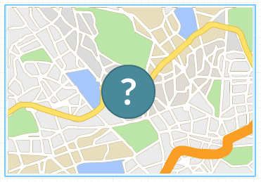
Description
Tele Atlas, the world’s best company in navigation and location-based services tied up with Google for providing the highly accurate mapping and navigation services all over the world.
Google maps Ground Truth team shift though petabytes of satellite, aerial and street level imagery from 1,000 different data sources. Google also has its own data capture team. The trikes, individual trekkers, cars, snowmobiles travel all around the world in order to take photos of streets and provide the accurate mapping service to the user.
The Google Ground team use the highly sophisticated Google Atlas program for processing all the data obtained from this vehicles and turn the data into comprehensive product for web and mobile users.
Key Points
- Application programming interface (API) is free for commercial use.
- Google map API has enhanced services for business purpose.
- Google do not charge up to 25,000 maps per day.